01 — Official guidance
Authoritative instructions and situation updates.
A real-time map that shows how a wildfire is changing the ground around you, and what to do about it.
In August 2026, a wildfire burned for weeks through Deliblatska Peščara, a nature reserve near Belgrade. Villages were evacuated. International crews flew in to help. Residents pieced together what was happening from broadcasts and word of mouth.
Authoritative instructions and situation updates.
Frequent reporting and field coverage as conditions changed.
Google Maps and satellite tools added spatial context.
Local pages, social media and personal networks added local context.
Maps, official reports, live broadcasts, local channels, and word of mouth all became part of the picture.
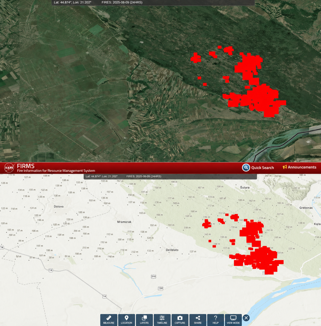
NASA FIRMS, satellite fire detection near Deliblato, 09 Aug 2026.
Evacuation becomes possible.
Immediate threat eases.
Wind and hotspots increase uncertainty.
Remaining hotspots are controlled.
I reviewed first hand accounts published by N1, Danas, Vreme and other Serbian news sources during the fire.
Conditions shifted quickly.
Restrictions needed context.
Some information was still developing.
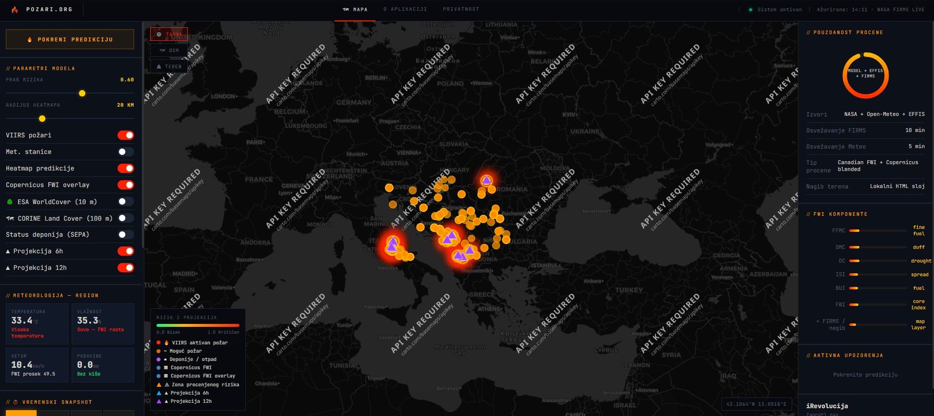
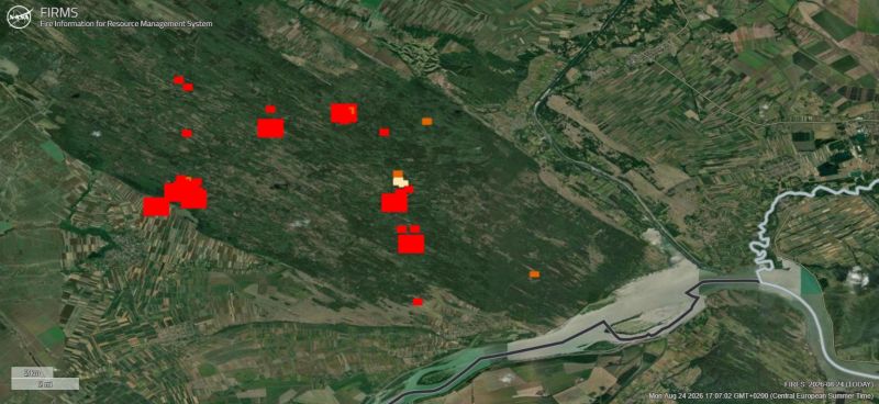
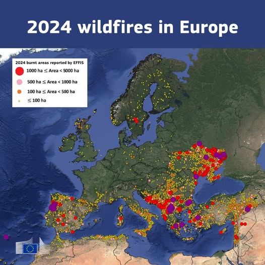
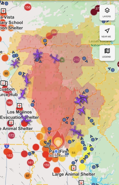
Fire data already exists through regional and European tools, and Serbia already has an official alert channel. The opportunity for Fireline is the space between them: ongoing, location-specific context after the initial alert.
The interface changes with the situation, keeping monitoring calm and making official action impossible to miss.
Keep the experience calm: show local status, nearby activity, the latest confirmed update, and whether official action applies.
Surface what changed and what is still developing without implying an official action that has not been issued.
When action is required, prioritize the instruction, source, time, destination, and route when those details are officially provided.